File:Meteo areas chart.png
From HFUnderground
Size of this preview: 489 × 600 pixels
Full resolution (1,314 × 1,612 pixels, file size: 120 KB, MIME type: image/png)
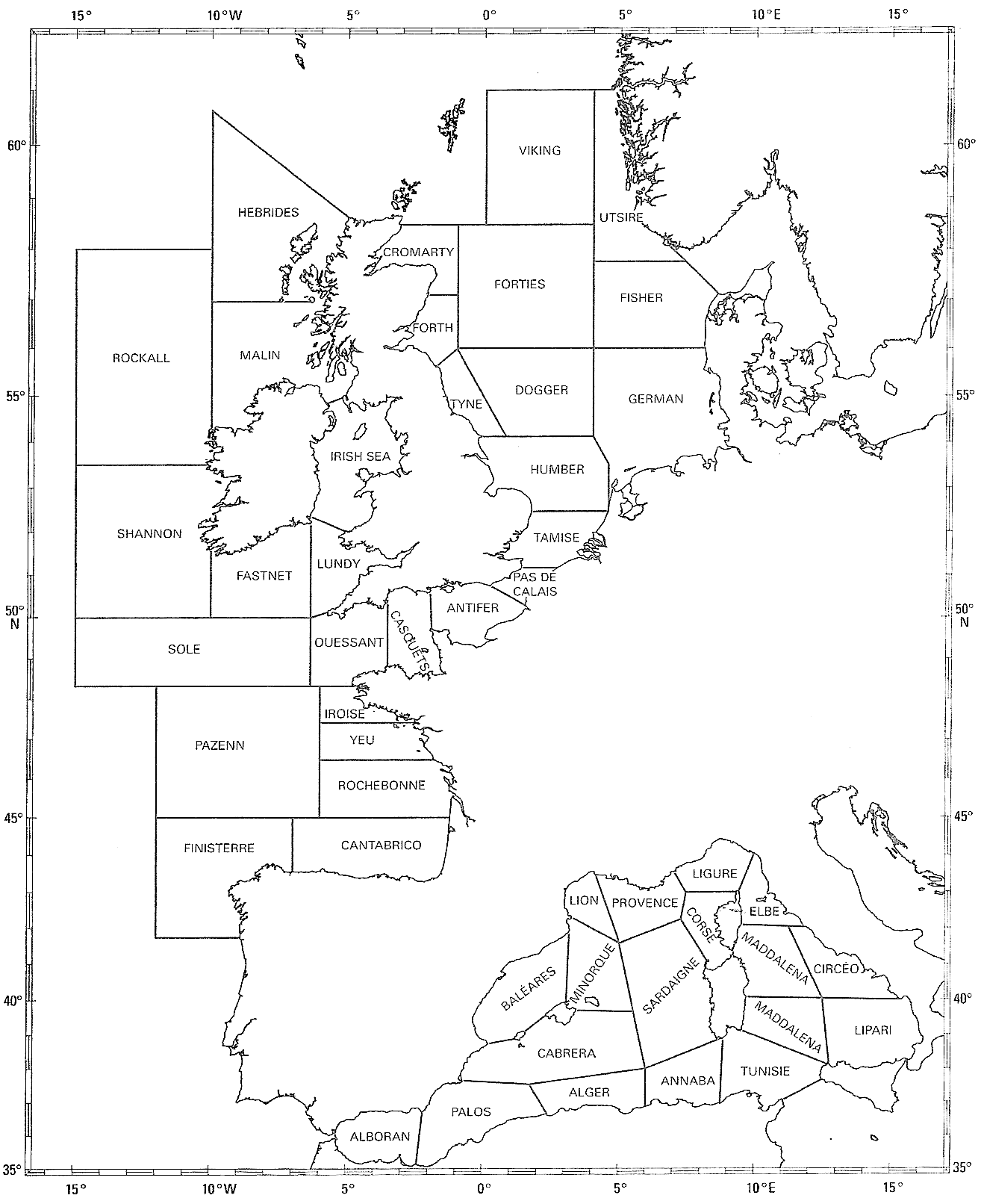
Chart displaying the metero report areas around France, Ireland and the United Kingdom.
File history
Click on a date/time to view the file as it appeared at that time.
| Date/Time | Thumbnail | Dimensions | User | Comment | |
|---|---|---|---|---|---|
| current | 09:19, 25 July 2010 | | 1,314×1,612 (120 KB) | Strange Attractor (Talk | contribs) | (Chart displaying the metero report areas around France and the United Kingdom. Category:Images ) |
- Edit this file using an external application (See the setup instructions for more information)
File links
The following 2 pages link to this file:
This site is a participant in the Amazon Services LLC Associates Program, an affiliate advertising program designed to provide a means for sites to earn advertising fees by advertising and linking to Amazon.com. Some links may be affiliate links. We may get paid if you buy something or take an action after clicking one of these.